Uganda Quick Facts
 Size: 93,065 square miles
Population: 34,612,250
Capital: Kampala
Climate: tropical; semiarid in northeast
Economy: Agriculture, Mining
Language: English, Ganda or Luganda, Swahili, Arabic
Currency: Uganda Shilling
Timezone: EST +7
Visa: Yes
Best Time to Visit: January February June July August December
10-Day Best of Uganda Lodge Safari Itinerary - Click Here
8-Day Uganda Lodge Safari Itinerary - Click Here
Location
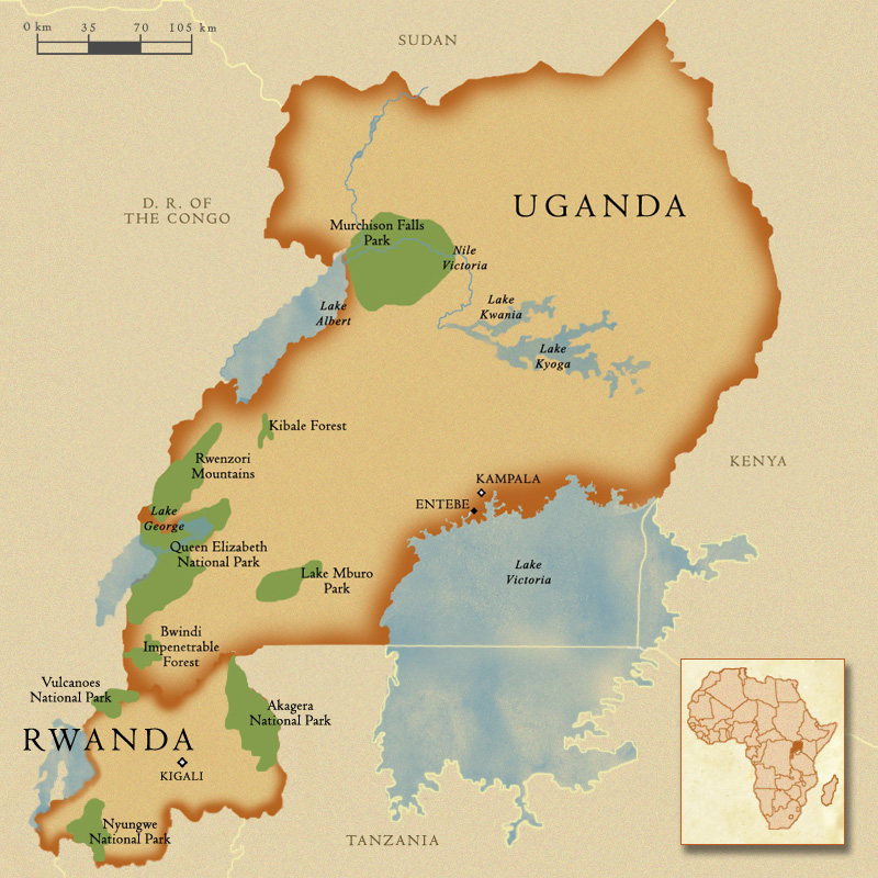
Uganda lies astride the Equator in Eastern Africa between longitudes 29 ½° East and 35° East and between latitudes 4 ½° North and ½° South, at an average altitude of 1,100 meters above sea- level. The total area is 236,580sq.Km.
We are bordered by the Republic of South Sudan to the North, the Republic of Kenya to the East, the Democratic Republic of Congo to the West, and the United Republic of Tanzania and the Republic of Rwanda to the South.
Overview
Ecologically, Uganda is where the East African savannah meets the West African jungle. Where else but in this uniquely lush destination can one observe lions prowling the open plains in the morning and track chimpanzees through the rainforest undergrowth the same afternoon, then the next day navigate tropical channels teeming with hippos and crocodiles before setting off into the misty mountains to visit the majestic mountain gorillas? Uganda is the only safari destination whose range of forest primates is as impressive as its selection of plain antelopes. Besides the wide biodiversity, Uganda is also blessed with a vast bird population of more than 1,000 species.
Uganda's smallest and probably most scenic National Park is situated in the extreme South-Western corner of the Country, forming part of a large conservation area that straddles political boundaries to to include Parc de Volcanoes in Rwanda and Parc de Virungas in the Democratic Republic of Congo. Three extinct Volcanoes, part of the spectacular Virunga range, lie within the boundaries of the Ugandan portion of this biologically rich area.
Queen Elizabeth National Park is Uganda's most popular National Park and certainly one of its most scenic. It stretches from the crater-dotted foothills of the Rwenzori ranges in the north, along the shores of Lake Edward to the remote Ishasha River in the South, incorporating a wide variety of habitats that range from wetlands to savannah to lowland forest.
The lush savannah of Queen Elizabeth National Park offers prime grazing to buffaloes, elephants, various antelopes and and a variety of over 600 bird species.
Bwindi Impenetrable National Park offers some of the finest montane forest birding in Africa and is a key destination for any birder visiting Uganda. Amongst the numerous possibilities are no fewer than 23 of Uganda's 24 Albertine Rift endemics, including spectacular, globally threatened species such as African Green Broadbill and Shelley's Crimson wing. Bwindi is one of the few in Africa to have flourished throughout the last Ice Age and it is home to roughly half of the world's mountain gorillas.
Of Uganda's forested reserves, Bwindi Impenetrable National Park is best known for its superb gorilla tracking, but it also provides refuge to elephant, chimpanzee, monkeys and various small antelope and bird species.--
Uganda's smallest and probably most scenic National Park is situated in the extreme South-Western corner of the Country, forming part of a large conservation area that straddles political boundaries to to include Parc de Volcanoes in Rwanda and Parc de Virungas in the Democratic Republic of Congo. Three extinct Volcanoes, part of the spectacular Virunga range, lie within the boundaries of the Ugandan portion of this biologically rich area.
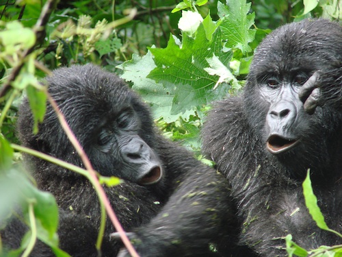
 Mountain Gorillas form the main attraction at Mgahinga National Park, which protects the Ugandan portion of the Virungas, an imposing string of nine freestanding extinct and active volcanoes that runs along the border with Rwanda and the Congo.
Rwenzori Mountains National Park protects the eastern slopes and glacial peaks of the 120km-long Rwenzori Mountains, a world-class hiking and mountaineering destination, fabled "Mountains of the Moon" lie in Western Uganda along the Congolese border where the snow-covered equatorial peaks rise to a height of 5,109m and the lower slopes are blanketed in moorland and rich montane forest. Most of the park is accessible only to hikers although the magnificent scenery and 19 Albertine Rift endemics would be ample reward for Birders.
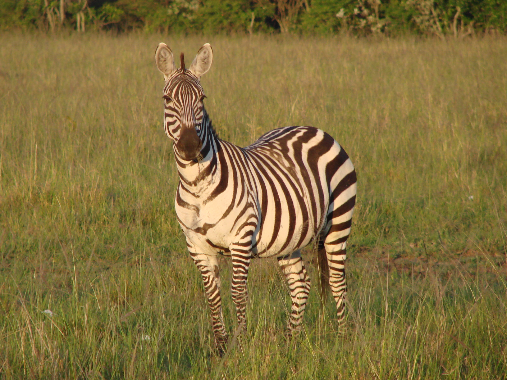
 Lake Mburo national park is known as the 'Home for Zebras'. The park's well developed Acacia woodland harbors a number of wildlife species and it is the best place in the country to see the gigantic eland antelope, as well as topi, impala and several acacia-associated birds.
Lake Mburo is the largest of the five lakes found in the park, which together attract hippos, crocodiles and a variety of water birds, while the swamps hide sitatunga antelope.
Kibale National Park is home to a vast number of species of birds as well as the greatest variety and concentration of primates found anywhere in East Africa; 13 remarkable primate species, including L'Hoests and red colobus monkeys flourish within the park. Add to this the the fact that the elusive forest elephant move seasonally through the forest and you can see why Kibale National Park is a superb safari destination. The park itself is easily accessible with a good internal infrastructure; many of the facilities are community based, thus providing the local population with the necessary revenue to ensure the long-term protection of the area.
As the most accessible of Uganda's major rainforests, Kibale is a home for over 13 remarkable primate species, including L'Hoest's and red colobus monkey. The elusive forest elephant, smaller and hairier move seasonally into the developed part of the park.
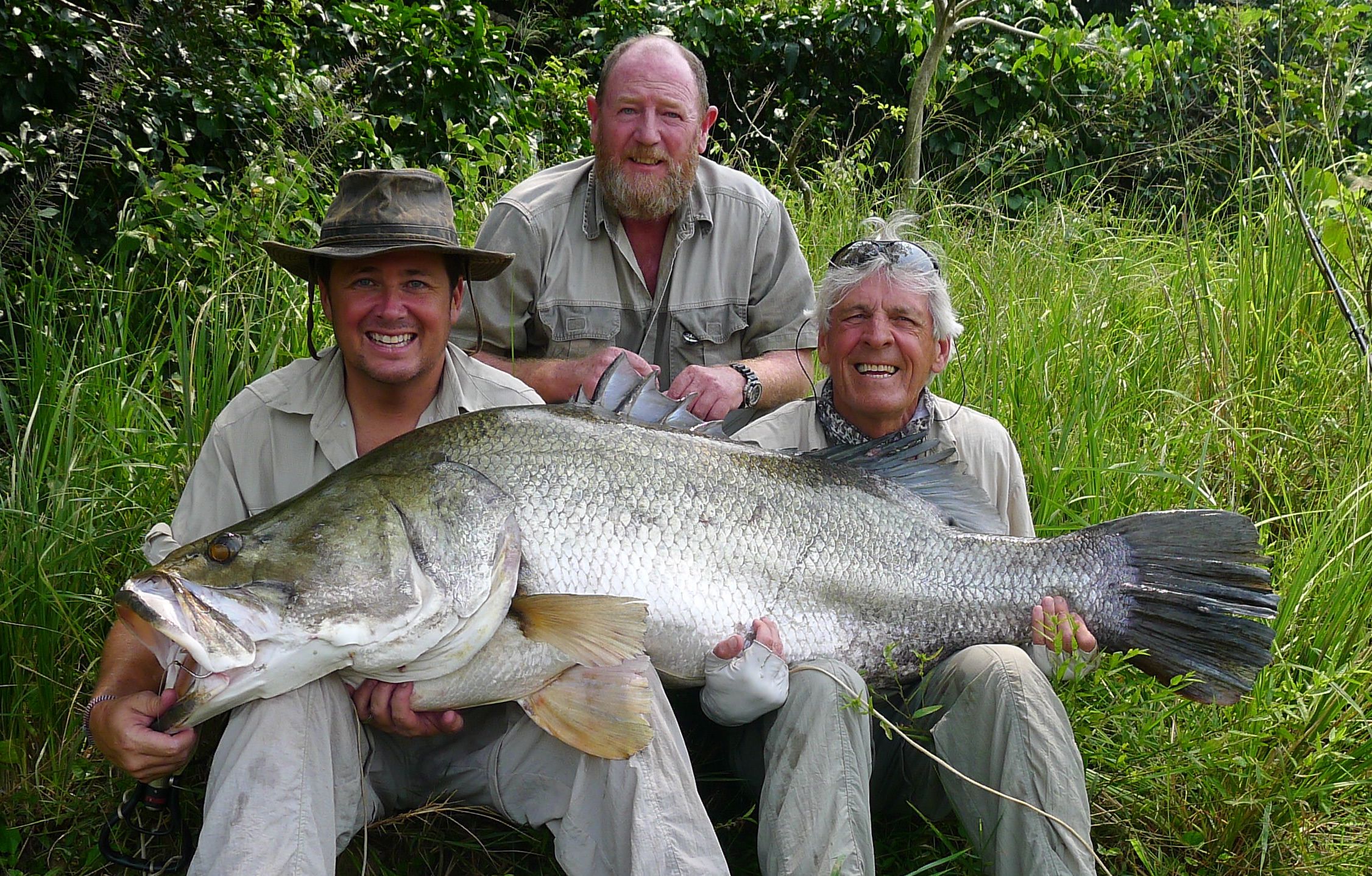
A true gem of a park is Uganda's sacred Murchison Falls in the Northwestern part of the country. It is here where one can fish and catch a Giant Nile Perch.
 Clients Bill and Son Jason with expert guide Paul Goldring with their prize catch which was released.
The park covers an area of about 3,893km2 and its known to be one of Uganda’s well protected area. This area is an addition to Murchison falls thus covering an area of about 5,072km2 including Bugungu as well as Karuma wildlife reserves.
The temperatures tend to be hot with a maximum of 29c and the affected months are December,mid February, June as well as July. The rainy season is between April and November.


